What is SEASTATES?
SEASTATES is a metocean data and information service provided by ABPmer to a range of clients who require high quality metocean information to support site characterisation, project design or operational planning.
Our metocean data is made for decision-making as SEASTATES data and tools characterise oceanographic conditions in any place of interest.
Clients regularly use it to inform feasibility studies as well as to design structures, operations and project programmes that are safe, efficient and economical.
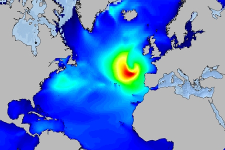
About our metocean datasets
As well as creating detailed, bespoke, location specific metocean datasets for clients we hold a variety of global and regional hindcast datasets – described below
Datasets
CFSR Global Hindcast - Wind Parameters at 10 m above sea level, owner/ creator: NOAA
WAVEWATCH III® Global Wave Hindcast, owner/ creator: NOAA
North West Europe – Wave Hindcast, owner/ creator: ABPmer
Baltic Sea – Wave Hindcast, owner/ creator: ABPmer
North West European Continental Shelf Tide and Surge Hindcast, owner/ creator: ABPmer
Accuracy
Our global hindcast database holds verified metocean data back to the beginning of 1979.
It’s a powerful resource, but all that data means nothing without accuracy.
To provide our clients with a clear insight into the metocean data that they can explore or we are using on their project, we have published a series of calibration reports, which detail the provenance and accuracy of the data that we have created.
DOWNLOAD CALIBRATION REPORT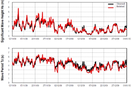
Data analysis
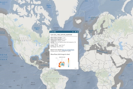
Our Data Explorer gives you free access to global metocean data and statistics.
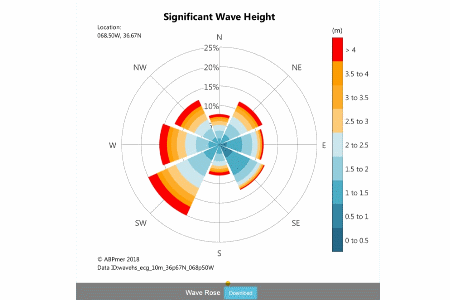
You can instantly discover the world’s wind and wave climate, obtain metocean analyses and download wave and wind rose plots created using our datasets.
Need more detailed data for a location? Contact us.
EXPLORE DATA
Our Weather Downtime Express service combines your offshore operations knowledge with our metocean expertise providing you with all the information you need to make informed bid and programming decisions.
SEASTATES development
We created SEASTATES as a tool to provide forecasts, metocean data and statistics for anywhere in the world.
SEASTATES is specifically it was designed to:
- Characterise past and near-future wave environments to a higher spatial and temporal resolution than other market products
- Better inform metocean studies over large or complex areas
We continue to develop SEASTATES services in partnership with metocean stakeholders.
PARTNER WITH US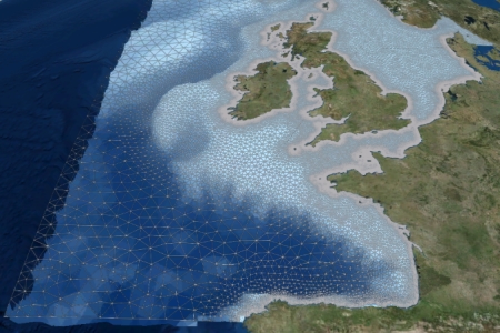
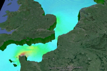
NW Europe tide and surge hindcast
We developed a hindcast database of tidal and surge conditions stretching back to 1979, to provide water level and flow parameters generated by both astronomic (tidal) and meteorological forces across the North West European Continental Shelf and North Sea.
To create this hindcast our expert team of numerical modellers utilised the latest offshore and coastal bathymetry datasets along with a huge variety of measured data to develop a large-scale hindcast of tides and surges with a high level of accuracy.
Find out how this database can assist your project today.
DOWNLOAD THE VALIDATION REPORT